Lundy Bay Beach
Location:
North Cornwall.Description:
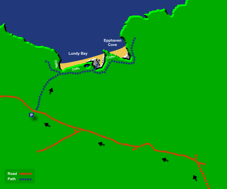
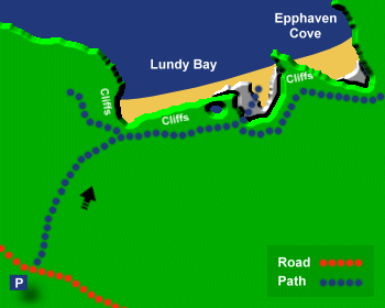
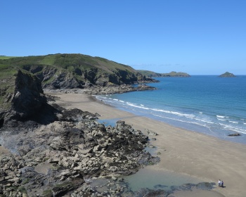
Lundy Bay is a wide sandy bay with plenty of sand at low tide but only a rocky beach left at high tide. There are no facilities at Lundy Bay and the car park is small. A few minutes east on the coast path is another small beach at Epphaven Cove, but access here is difficult.Safety:
Risk of getting cut off at high tide at Lundy Bay. See Beach Safety Guide.Access:
There is a sloping footpath from the car park to Lundy Bay, taking about 10-15 minutes to walk and then a climb over rocks to get onto the beach. At Epphaven Cove there is a difficult climb down over rocks to get to the sand.Dogs:
Dogs allowed all year.Directions:
Lundy Bay is close to Polzeath which is about 7 miles from Wadebridge and 14 miles from Bodmin. Approach Wadebridge on the A389 (from Bodmin) or the A39. At Wadebridge take the B3314 and proceed on the B3314 until there is a right bend to Port Isaac. At this bend turn left (signposted to Polzeath) and continue on this road which forks to either Polzeath or New Polzeath. Take the New Polzeath road and shortly after the fork there is a car park on the left. Opposite the car park park there is a foot path to Lundy Bay.Post Code:
PL27 6QZ.Parking:
1 small National Trust car park, expect this to fill up quickly on sunny days.Toilets:
No.Facilities:
None.Activities:
None.Nearby Alternative Beaches:
Rock (4 miles, sandy beach, dog friendly, disabled access)
Daymer Bay (2 miles, sandy beach, dog friendly)
Polzeath (1 mile, sandy beach, surfing, disabled access)
Trebarwith Strand (9 miles, sandy beach, surfing, dog friendly)


Photos of Lundy Bay Beach provided by West Country Views
For more photos of Lundy Bay Beach, visit Lundy Bay Photos
For more photos of Lundy Bay Beach, visit Lundy Bay Photos